Website DPMPTSP
This is the information system website of a regional agency in my area called DPMPTSP.
Visit dpmptsp.purwakartakab.go.id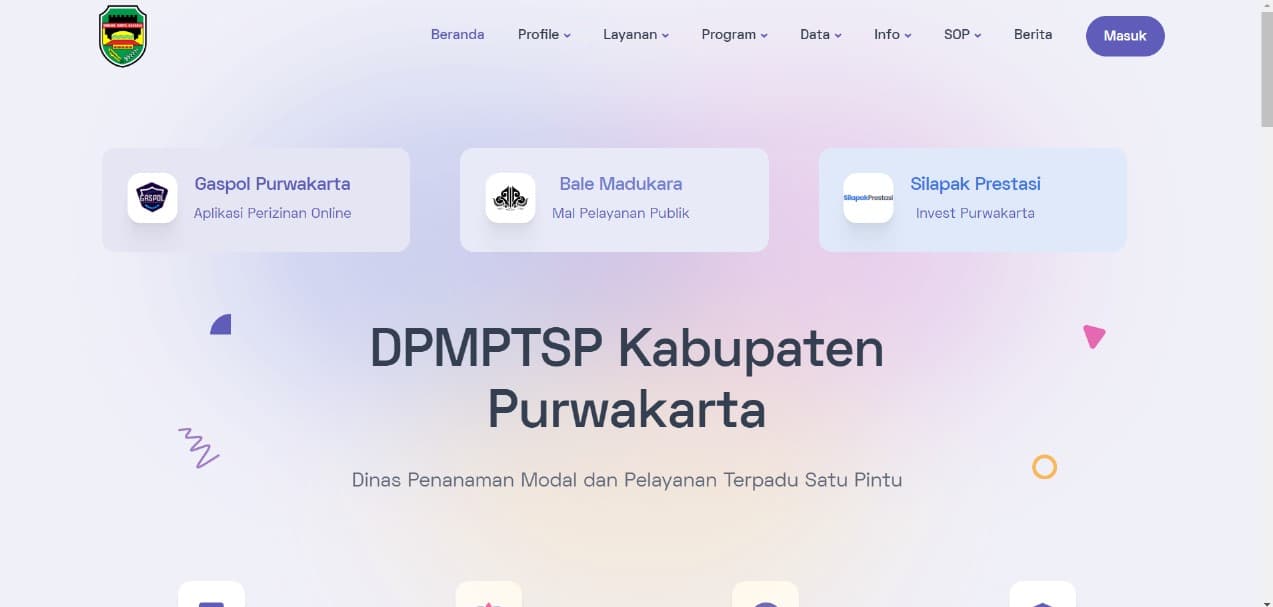
Built with
 Laravel
 MySQL
MySQL JavaScript
- Status
- Live
- Technologies
- 3
- Live at
- dpmptsp.purwakartakab.go.id
More projects
View all
Website Belli
Making what was previously a Figma into a clickable prototype, and other logic
SINAR Mobile
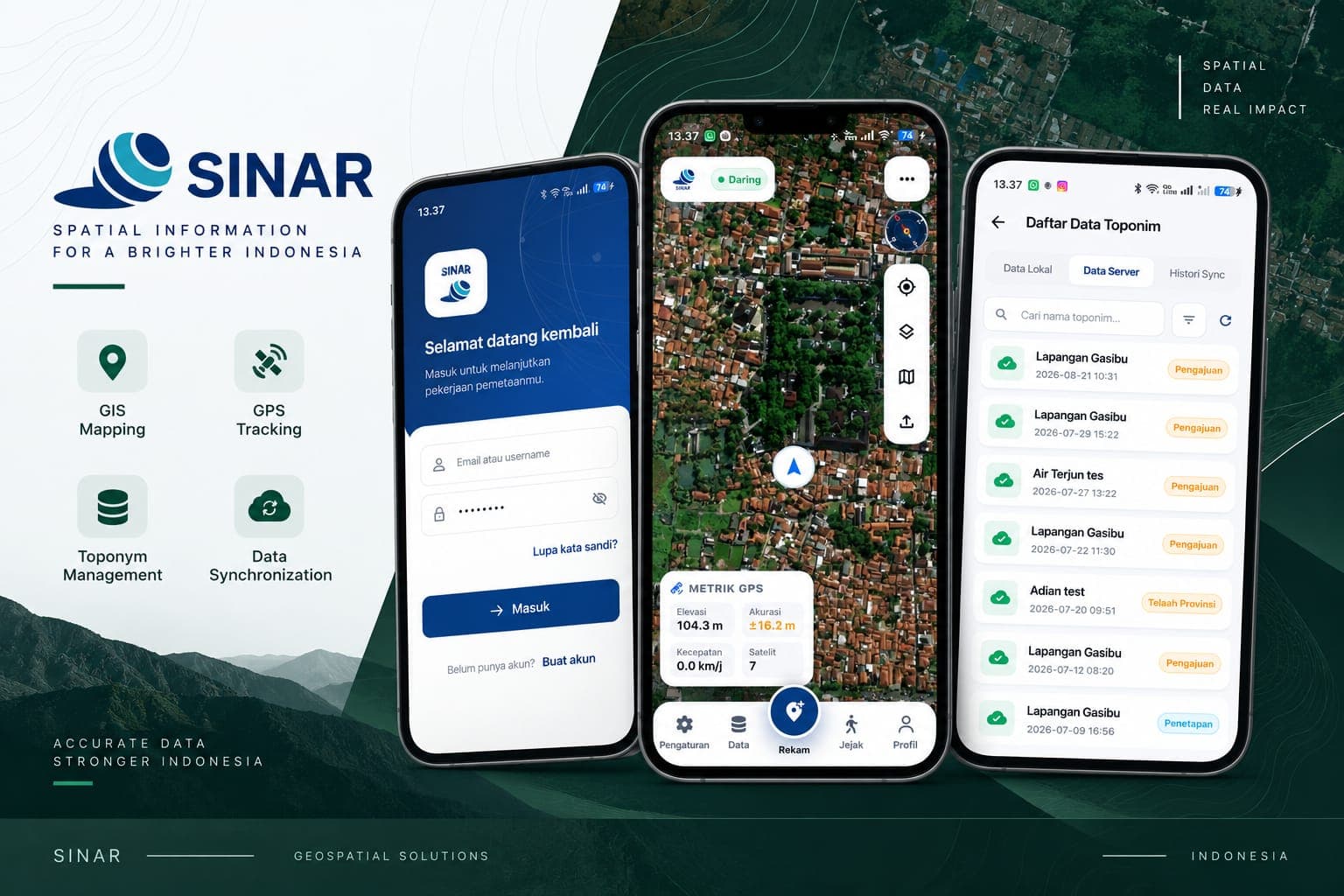
The Flutter field companion to SINAR (Sistem Informasi Rupa Bumi). Surveyors record toponyms straight from the field with GPS tracking and live accuracy metrics, work offline against a local store, then reconcile with the server through a sync history—covering mapping, track logging, and the submission-to-approval workflow for geographic names.
EFORT Digital Multisolution
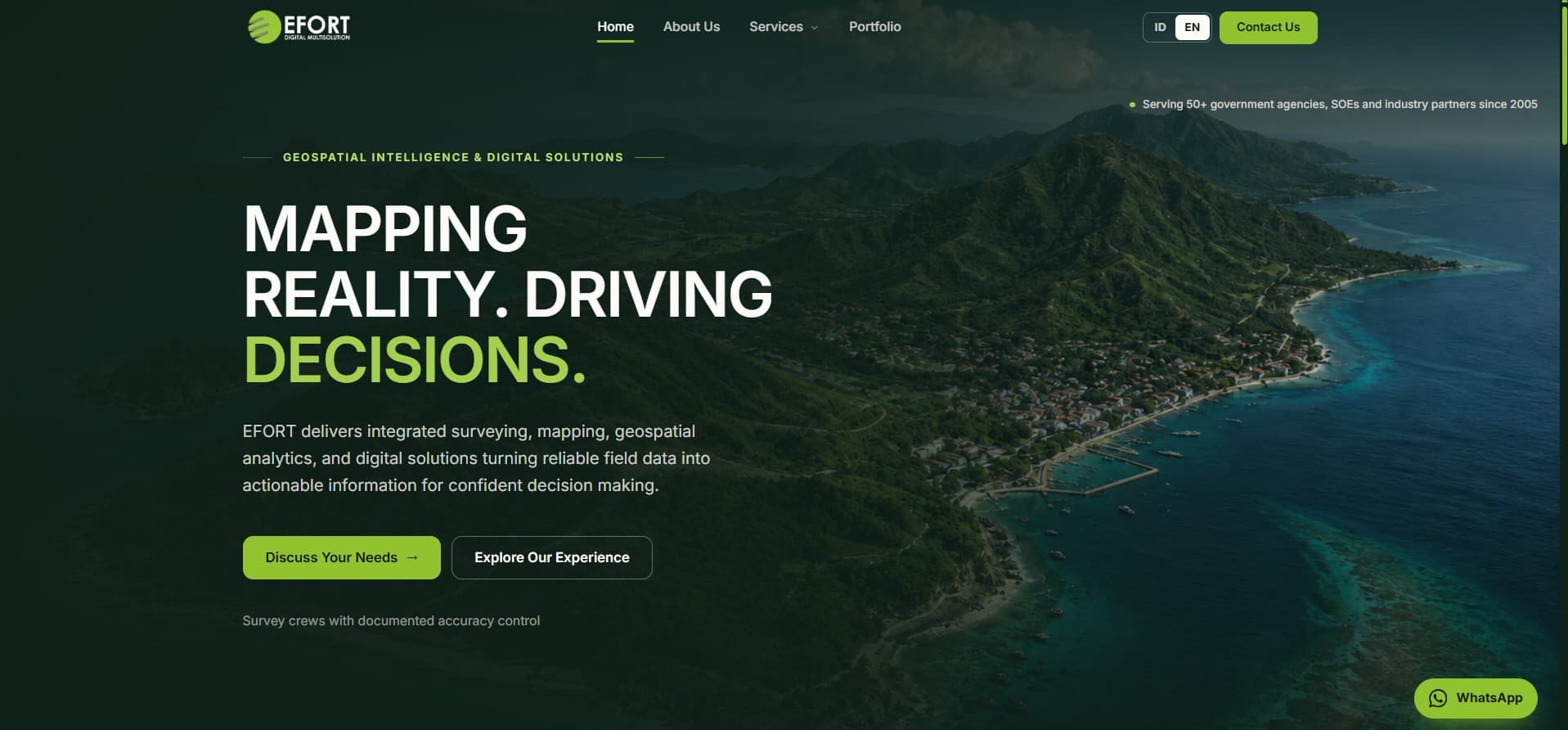
Company profile for EFORT, a geospatial and digital solutions firm serving 50+ government agencies, SOEs, and industry partners since 2005. Built with Next.js as a bilingual (ID/EN) marketing site covering surveying, mapping, geospatial analytics, and digital services, with a services taxonomy, portfolio showcase, and direct consultation funnel.