SINAR Mobile
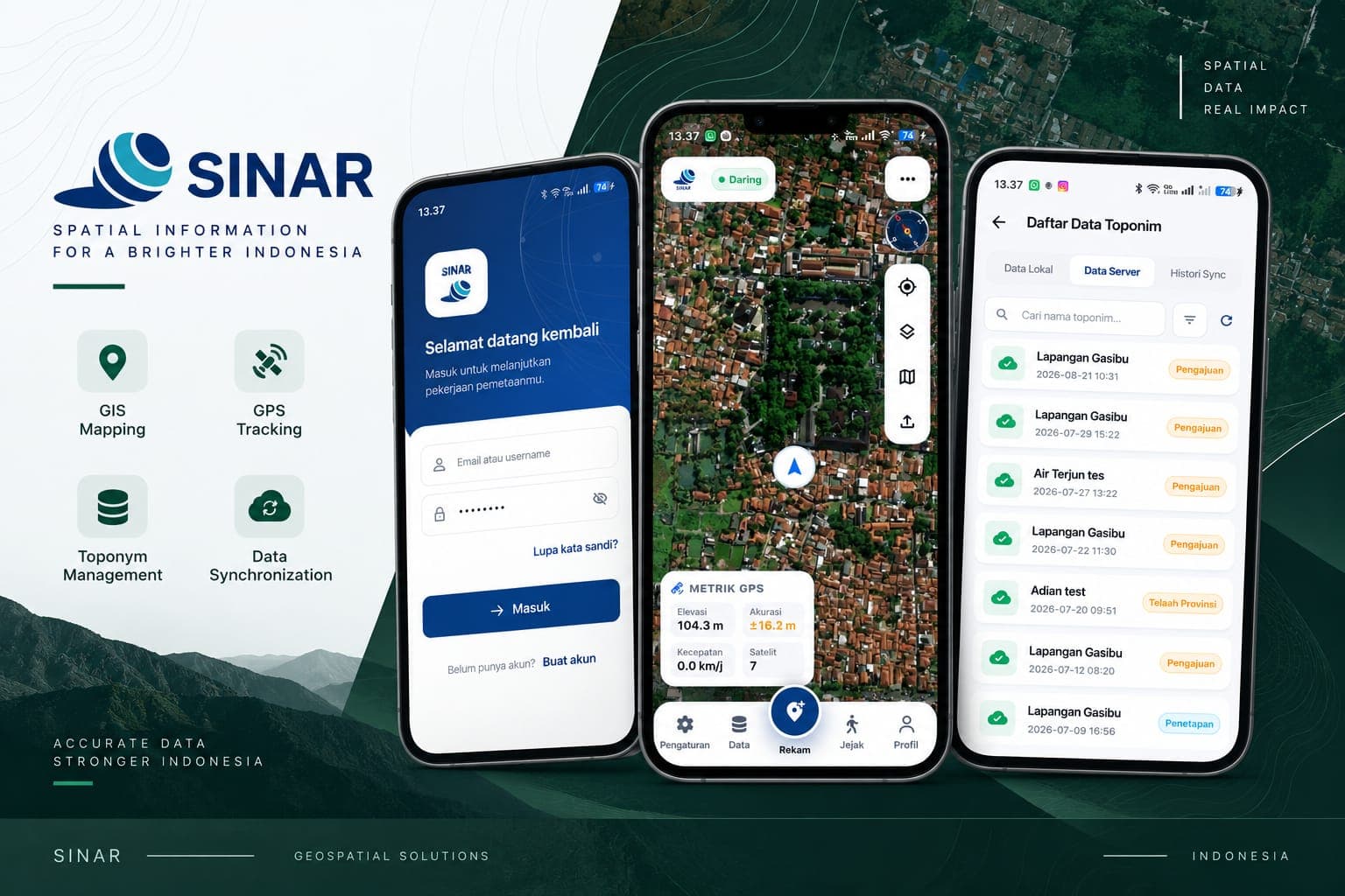
The Flutter field companion to SINAR (Sistem Informasi Rupa Bumi). Surveyors record toponyms straight from the field with GPS tracking and live accuracy metrics, work offline against a local store, then reconcile with the server through a sync history—covering mapping, track logging, and the submission-to-approval workflow for geographic names.
Built with
 Flutter
 Dart
Dart Laravel
 PostgreSQL
- Status
- Unlisted
- Technologies
- 4
More projects
View all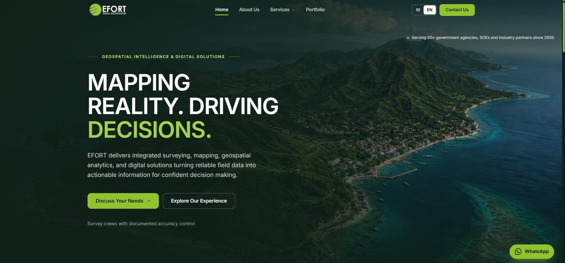
EFORT Digital Multisolution
Company profile for EFORT, a geospatial and digital solutions firm serving 50+ government agencies, SOEs, and industry partners since 2005. Built with Next.js as a bilingual (ID/EN) marketing site covering surveying, mapping, geospatial analytics, and digital services, with a services taxonomy, portfolio showcase, and direct consultation funnel.
Ogan Lopian Web Portal
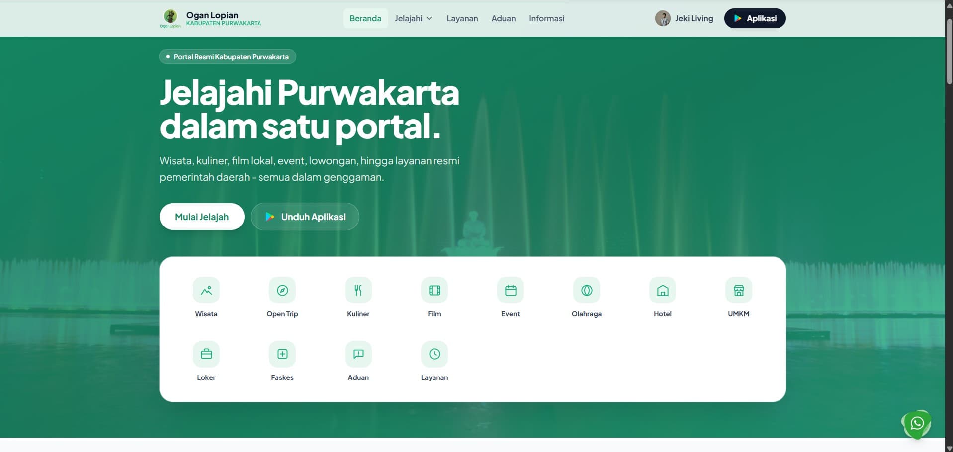
The public-facing web portal of Ogan Lopian, the official digital gateway of Purwakarta Regency. Built with Astro for near-instant page loads, it brings tourism, open trips, culinary, local films, events, sports, hotels, UMKM, job vacancies, health facilities, public complaints, and official government services together in a single entry point—served by the Ogan Lopian central API and funneling visitors straight to the Android super app.
Oganlopian Super Apps
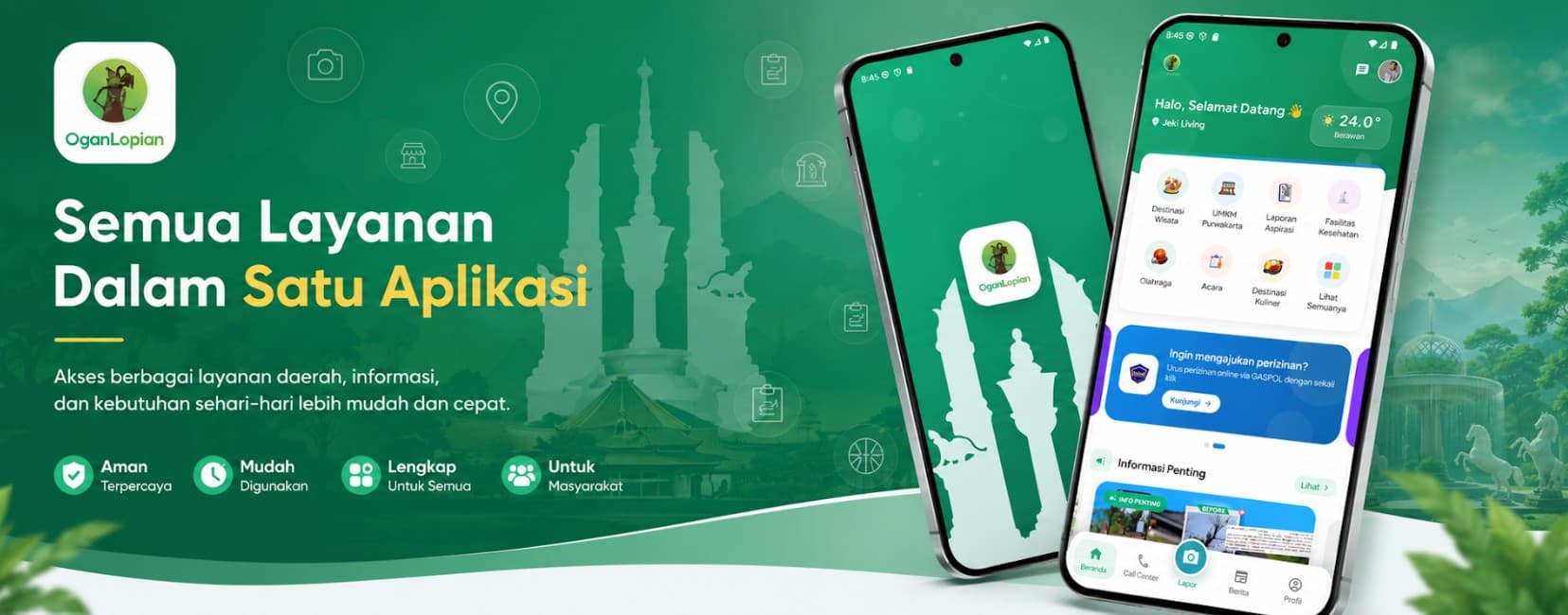
Purwakarta’s all-in-one Android super app for citizens—a single mobile platform integrating public services such as tourism, jobs, public information, transport, and Prodeskel, powered by the Oganlopian central API.